Aquatic ecology
Targeted aquatic ecology surveys and assessments to understand freshwater habitats, identify ecological constraints and support planning and permitting, with clear, practical next steps.
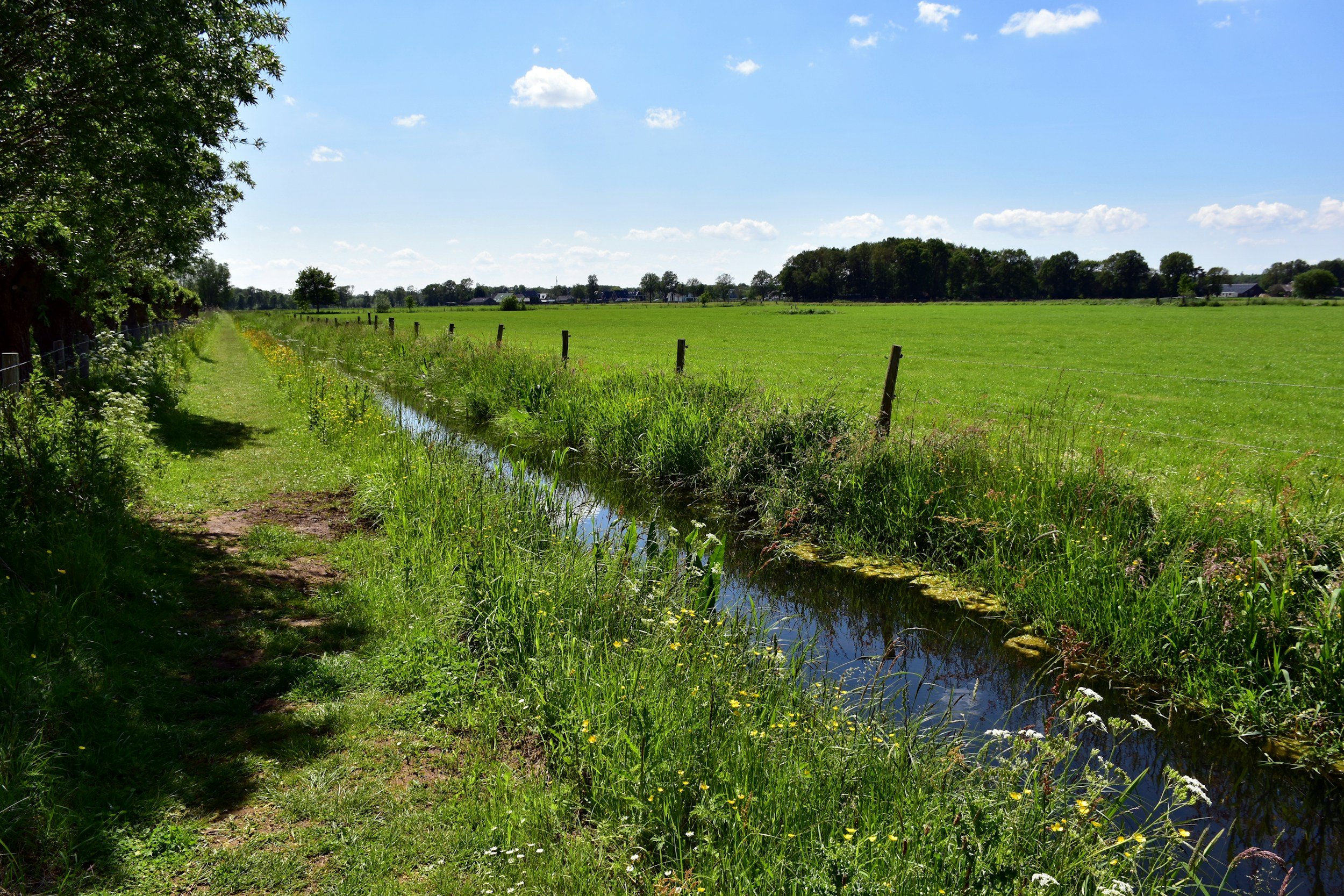
Development near ditches, rivers, streams, ponds or wetlands can introduce additional ecological and regulatory considerations. Our aquatic ecology services provide clear, practical advice and robust survey data to help you understand constraints early and keep your project moving.
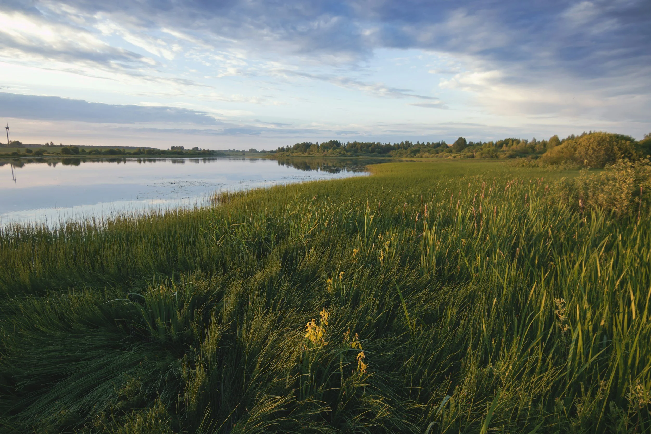
We work across a wide range of freshwater environments, from small field ditches and ponds to rivers and larger waterbodies, supporting projects from initial feasibility through to planning, mitigation and delivery.
When you might need an aquatic ecology survey
You may need aquatic ecology input if your site:
is close to or includes a ditch, river, stream, pond, lake or wetland
requires works within or near a watercourse (eg crossings, outfalls, bank works)
could affect water quality, flow, silt load or aquatic habitats eg installations of a package treatment plant
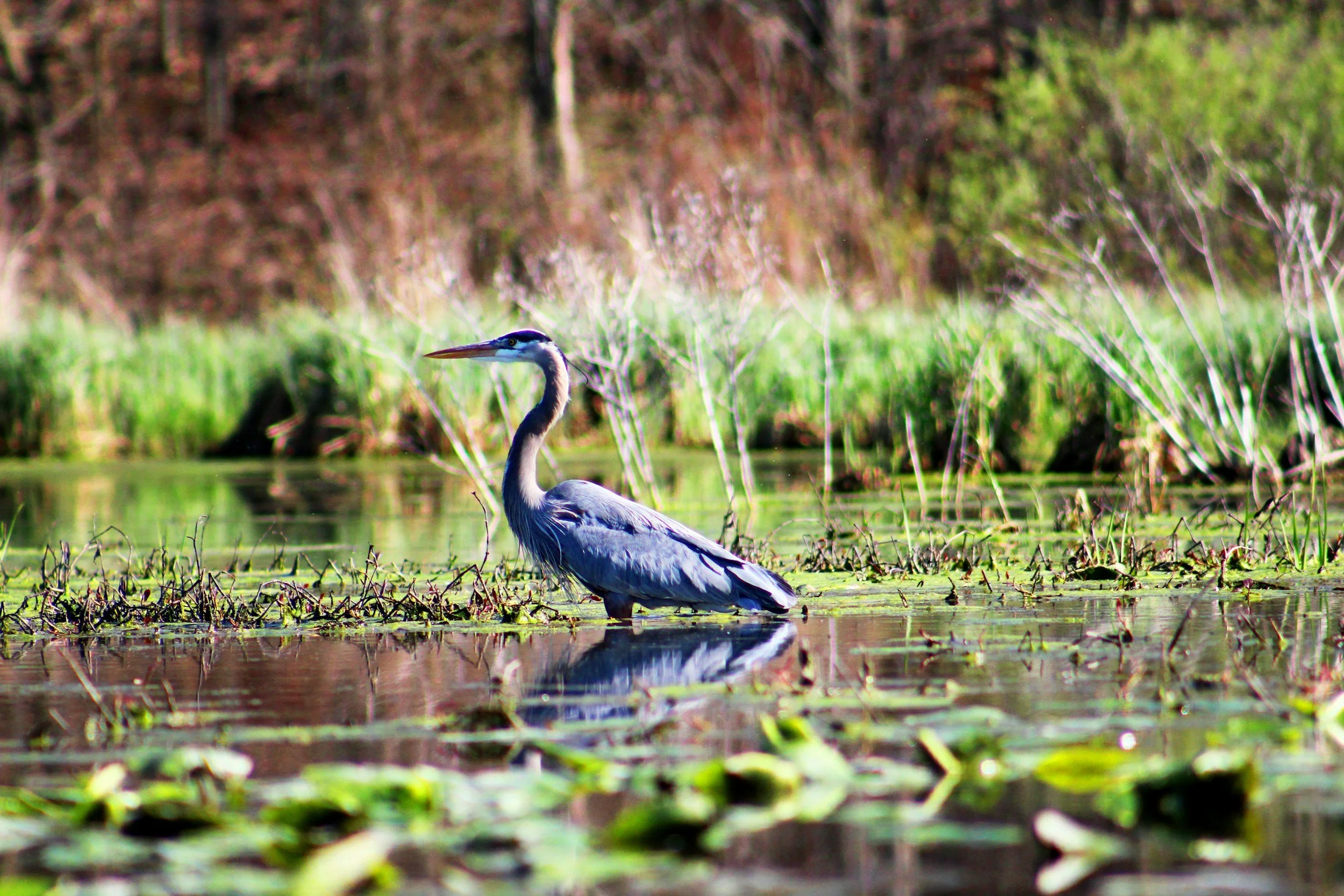
supports or has potential to support protected or notable species such as white-clawed crayfish, water voles, otters or fish
requires a Flood Risk Activity Permit or other Environment Agency consent
Aquatic ecology surveys are often required to support planning applications, environmental permits or to satisfy conditions attached to consent.
Not sure what you need?
For most sites, the correct starting point is a preliminary ecological appraisal (PEA). Send us your plans or a brief description of your project, and we’ll confirm what is required and when.
Our planning-focused approach
Our aquatic ecology service is designed to give you clear, reliable information and straightforward next steps.
We provide:
desk studies and scoping assessments to identify potential constraints
aquatic habitat surveys (including river condition assessments and macrophyte surveys)
water quality and aquatic community surveys, including algae, diatom, macroinvertebrates, macrophytes and fish
fish health checks
eDNA surveys for crayfish and fish where appropriate
surveys for protected and notable species such as water voles, otters and white-clawed crayfish
Water Framework Directive (WFD) assessments and compliance advice
input to Flood Risk Assessments and Sustainable Drainage (SuDS) design
Ecological Impact Assessments (EcIA) and Habitat Regulation Assessments for developments affecting acquatic environments
Invasive Non-Native Species (INNS) surveys eg crayfish, mitten crabs, zebra mussels, New Zealand pygmy weed, floating pennywort, parrots feather and water fern
How it helps your project
Understanding aquatic ecology early can prevent delays and reduce risk. We focus on proportionate, practical advice that fits your project.
Our work helps you:
identify constraints at an early stage
design layouts that avoid or minimise impacts
meet planning and regulatory requirements
support permit applications and approvals
reduce the risk of unexpected survey or mitigation requirements later
Where impacts can’t be avoided, we provide clear, achievable mitigation strategies and, where appropriate, enhancement opportunities to improve biodiversity.
Survey windows
Many aquatic surveys are seasonal, with specific windows for robust data collection. Early advice is key to avoiding delays.
If your site includes or is close to water, we recommend getting in touch as early as possible. We can quickly advise what (if anything) is needed and provide a clear scope and cost.
Our process
-
![Icon of a computer window with a checkmark inside a circle, indicating success or completion.]()
Initial review and advice
We review your site and proposals to identify potential aquatic ecology constraints and advise what surveys (if any) are needed.
-
![White location pin icon on a green background.]()
Survey and assessment
We carry out targeted aquatic surveys, designed to be proportionate to the scale and risk of your project.
-
![Icon of three overlapping documents with text lines on a green background.]()
Reporting and planning support
We produce clear, planning-ready reports that assess impacts and set out practical, actionable recommendations.
-
![An illustration of a hand holding a checkmark inside a circle, symbolizing approval or verification, on a green background.]()
Mitigation and delivery
Where required, we design mitigation and enhancement measures and provide support through to implementation.
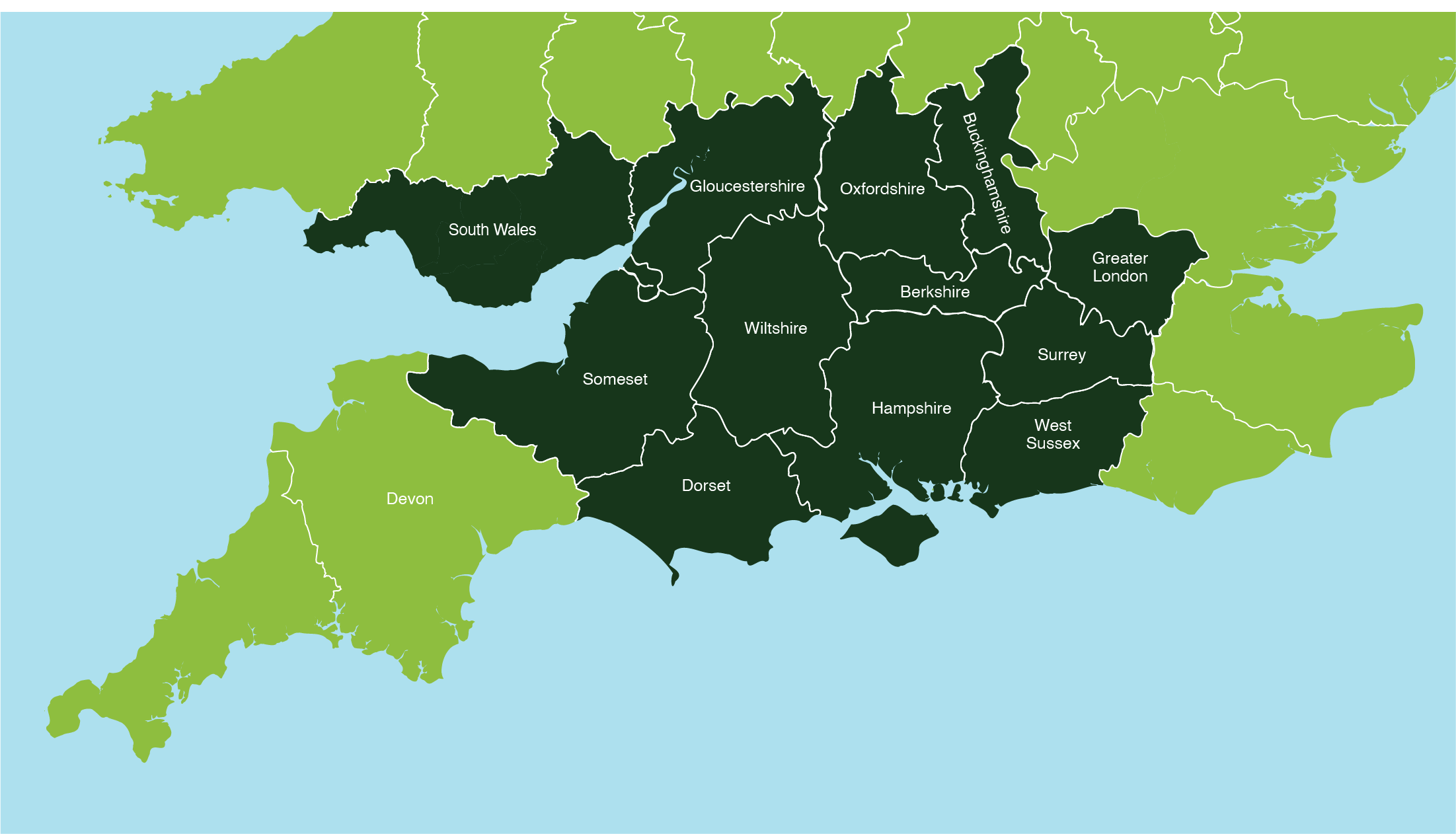
Areas we cover
We provide licensing, mitigation and ecological supervision services across:
Wiltshire - Dorset - Hampshire - Somerset - Gloucestershire - South Wales - Oxfordshire - Berkshire - Buckinghamshire - Greater London - Surrey - Greater London - Berkshire - Buckinghamshire - West Sussex.
We can also travel to neighbouring areas by arrangement.