Tree surveys and reports
Professional BS5837 tree surveys to support planning applications.
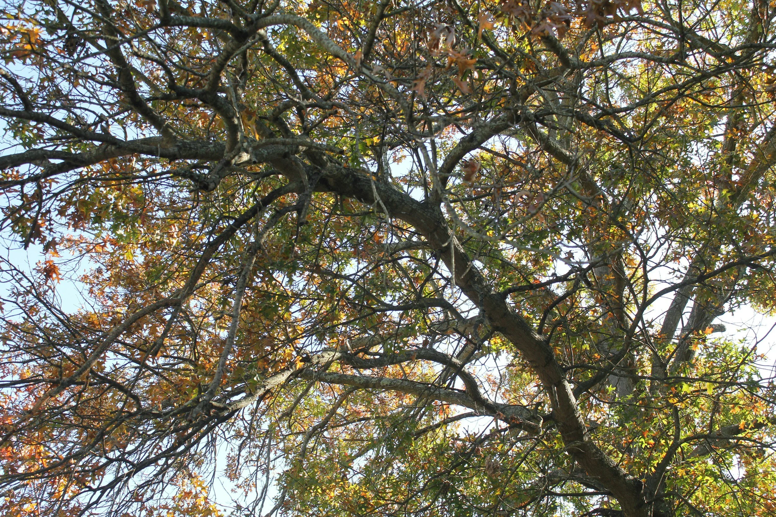
Trees are an important consideration in the planning process. If your development may affect trees on or near your site, the local planning authority will usually require a BS5837 tree survey and accompanying arboricultural reports.
We provide clear, accurate tree surveys and plans that integrate smoothly with your architectural drawings and planning application. Whether you are working on a small extension or a larger development, we explain exactly what is required and deliver the documents your planning officer needs.
What is a BS5837 tree survey?
BS5837 is the British Standard that guides how trees should be assessed and protected during development. Planning authorities rely on these reports to understand:
The quality and value of the trees
How proposals may affect them
Whether trees can be retained safely
What protection measures are needed during construction
Our reports are concise, planning-ready and easy for your design team to integrate.
When is a tree survey needed?
A BS5837 tree survey is typically needed when:
Your site contains trees, woodland or hedgerows
Neighbouring trees may be affected by excavation or construction
You are proposing an extension, conversion or redevelopment
A planning officer requests arboricultural input
You are near a conservation area or working with protected trees (TPOs)
Not sure what you need?
Send us your plans or a brief description of your project, and we’ll confirm what is required and when.
Our tree survey services
BS5837 tree survey
A detailed assessment of all trees on or adjacent to your site, including:
Tree species, height, diameter and spread
Physiological and structural condition
Life expectancy and retention category
Root protection area (RPA) calculations
Recommendations for retention, removal or management
Delivered with clear schedules, maps and CAD-compatible plans.
Tree constraints plan (TCP)
A TCP shows how existing trees may constrain your development layout. It identifies:
Root protection areas
Canopy spreads
Shading arcs
Constraints that designers need to consider
This helps architects and planning consultants finalise site layouts early and avoid later redesigns.
Arboricultural impact assessment (AIA)
An AIA assesses how your proposed development may affect trees and provides:
A clear evaluation of tree constraints
Assessment of impacts from construction, access, utilities and changes in ground levels
Recommendations for mitigation
Identification of trees to be retained or removed
This document is frequently requested by planning officers.
Arboricultural method statement (AMS)
Where trees are retained close to construction works, an AMS outlines how to complete the works safely.
Includes:
Detailed working methods
Protective measures
Site supervision requirements
Phasing plans
Planning conditions often require an AMS before development begins.
Tree protection plan (TPP)
A TPP shows the exact protective fencing and ground protection measures needed to safeguard retained trees throughout construction.
Provided as a clear CAD-ready drawing with annotations that your contractor can easily follow.
A planning-focused approach
Our role is to provide clear, robust surveys and reports that answer the questions planning officers and consultees expect to see, without unnecessary complexity or cost. Our reports are:
Clear – concise conclusions that address each ecological issue
Proportionate – we recommend only what is necessary for your project
Robust – based on current legislation and professional best practice
Planning-ready – structured to support efficient decision-making
Whether you are applying for a small home extension or a larger development, we explain what is required, why, and the simplest route through the planning process.
Our process
-
![Icon of a web browser window with a checkmark inside a circle in the center, on a green background.]()
Send us your plans
Email your drawings, site address and planning context. We will review and provide a fixed-fee quote within 24 hours.
-
![White location pin icon on a green background.]()
Site survey
We visit the site to assess all relevant trees.
-
![Illustration of three stacked documents on a green background.]()
Reporting
You receive BS5837-compliant documents tailored to your proposal and planning authority.
-
![Outline of a hand holding a circle with a checkmark inside, on a green background.]()
Ongoing support
If planning officers or contractors have questions, we provide prompt clarification.
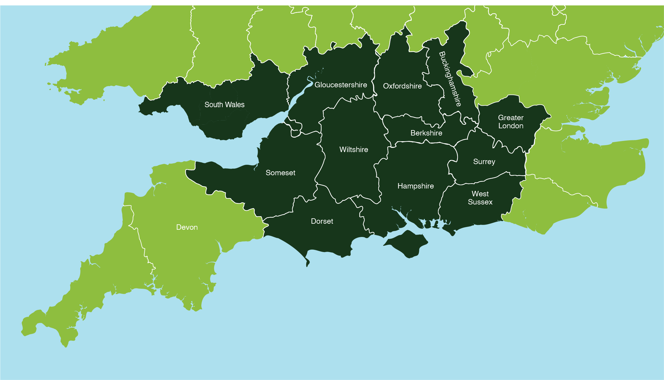
Areas we cover
We provide licensing, mitigation and ecological supervision services across:
Wiltshire - Dorset - Somerset - Gloucestershire - South Wales - Oxfordshire - Berkshire - Buckinghamshire - Greater London - Surrey - Greater London - Berkshire - Buckinghamshire - West Sussex.
We can also travel to neighbouring areas by arrangement.